


Puy Mary

frizou83
User
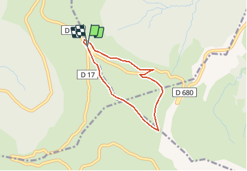

Length
2.9 km

Max alt
1769 m

Uphill gradient
240 m
Km-Effort
6.1 km

Min alt
1513 m

Downhill gradient
245 m
Boucle
Yes
Creation date :
2014-12-10 00:00:00.0
Updated on :
2014-12-10 00:00:00.0
1h17
Difficulty : Difficult

FREE GPS app for hiking
 SityTrail
IGN / Geographical institutes
SityTrail Plus
The world is yours!
About
Trail Walking of 2.9 km to be discovered at Auvergne-Rhône-Alpes, Cantal, Le Claux. This trail is proposed by frizou83.
Positioning
Country:
France
Region :
Auvergne-Rhône-Alpes
Department/Province :
Cantal
Municipality :
Le Claux
Location:
Unknown
Start:(Dec)
Start:(UTM)
474181 ; 4995676 (31T) N.
Comments